The characteristic of this route, also known as the Valsesia route, is certainly its accessibility: it can in fact be traveled by selecting the stretch of interest. Each stretch has a signposted access point along the Alagna provincial road.
Those who do not want to cover the entire 31 km can access the route in the towns of Scopa, Scopello, Piode, Campertogno, Mollia, Riva Valdobbia. Each access is indicated by a yellow sign posted on the SP 299. The distances of the single sections measure on average 5 km.
Departure: Balmuccia
Arrival: Alagna
Length: Km. 31
Difference in altitude: 772 m uphill, 190 m downhill
Duration: 4.5/5 hours
Physical difficulty: medium/easy
Technical difficulty: easy
E-Bike charging stations: Campertogno (km.17.5), Alagna
Period: spring, summer, autumn
Which bike to choose?
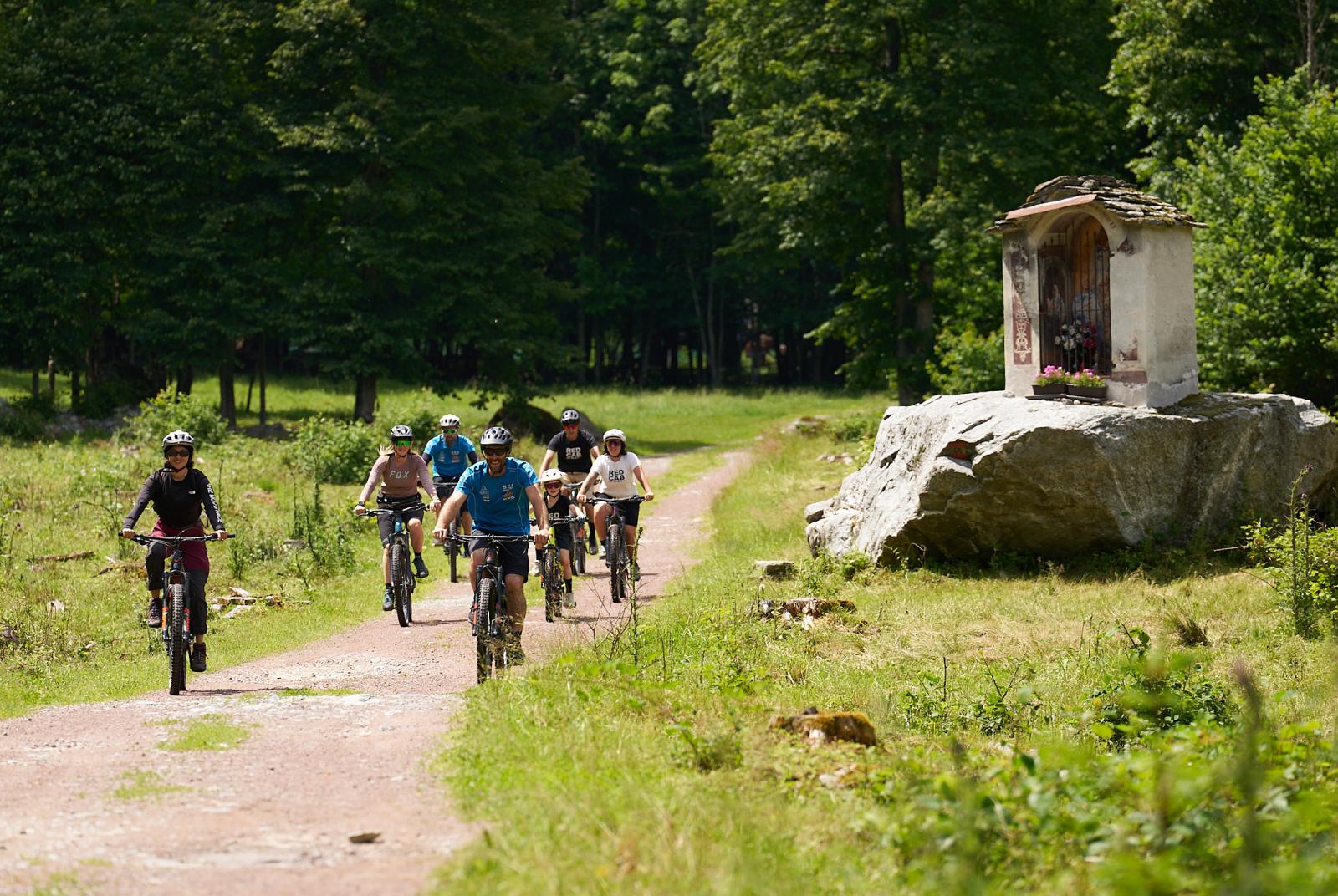
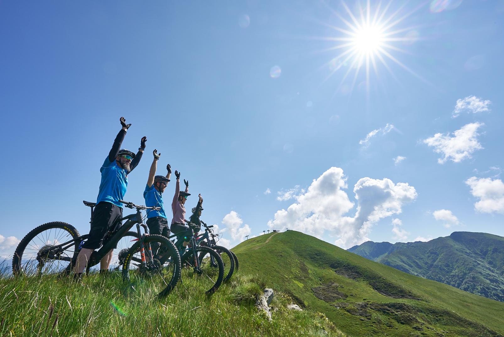
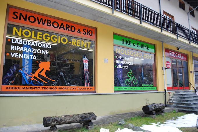
Definitely a Mountain Bike or an E-MTB, and if you need to rent it, you can do it in Varallo, Scopa, Mollia and Alagna. We always advise you to check the conditions of the route before leaving and to request information and a map from the nearest Tourist Office.
Parking:
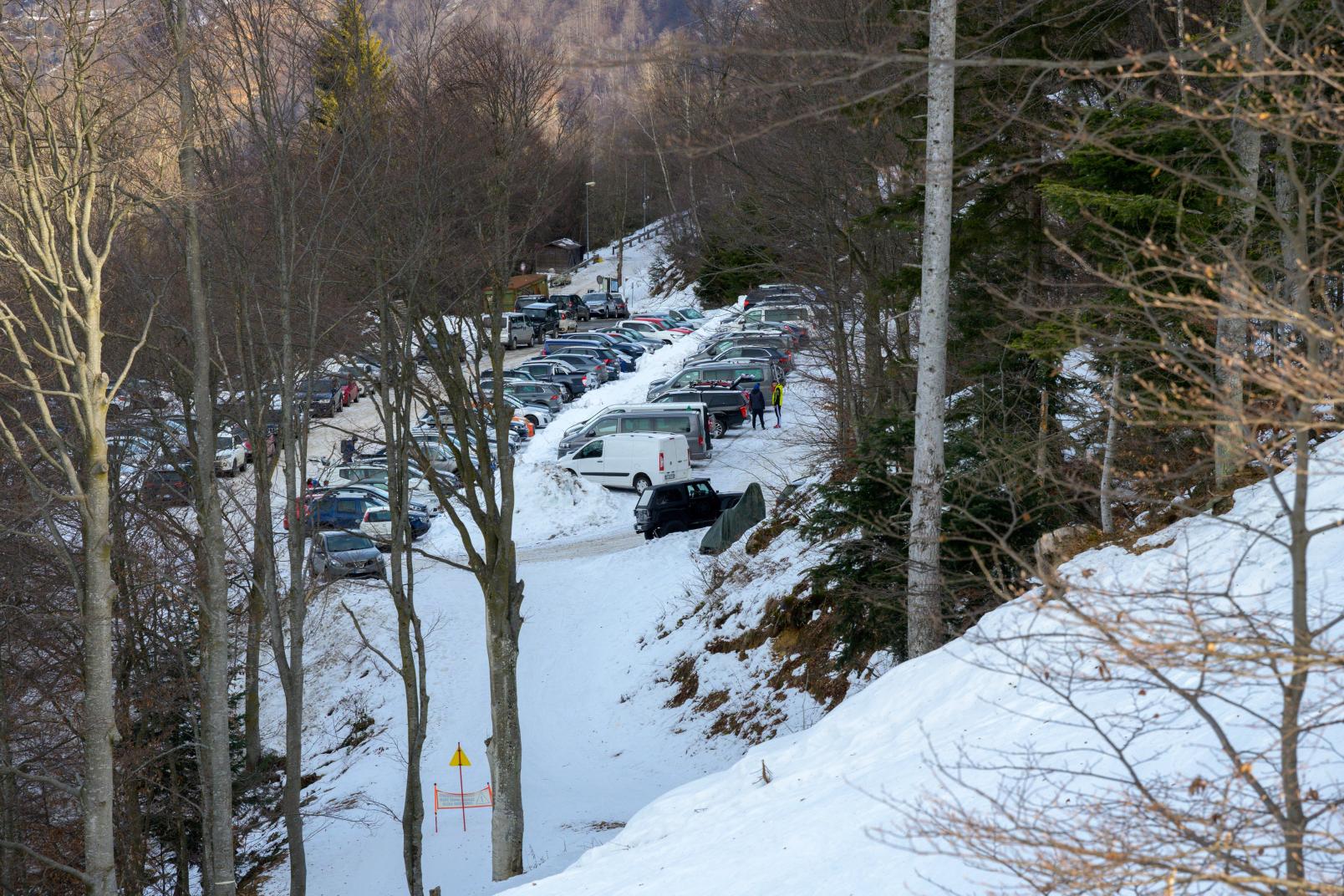
On the Provincial Road 299 at Balmuccia, you come across the first yellow sign of the cycle path. Turning right, continue following the yellow signs to reach the parking lot of the Balmuccia School or follow the signs bearing the name Monrosa, to that of the Monrosa Canoe and Rafting Center.
Signage:
Yellow sign with stylized cyclist + number 1 on a green field From here an interesting path starts which, once you have crossed the bridge over the Sesia, enters the side of the mountain with a suggestive view of the canyon below. After a few demanding gradients, you reach the northernmost bridge which, once crossed, leads to the village of Scopetta which can be reached by crossing the SP 299. From here you walk 400m. approximately on the Provincial road, followed by the Muro di Scopa cycle path. At Scopa, cross the provincial road again and then take the orographic left side of the Sesia again until you cross an iron bridge.
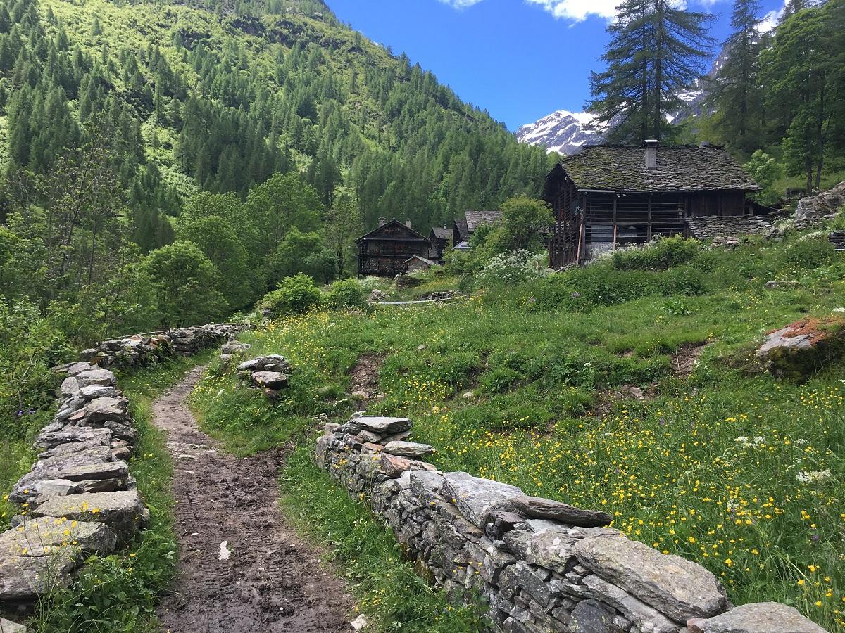
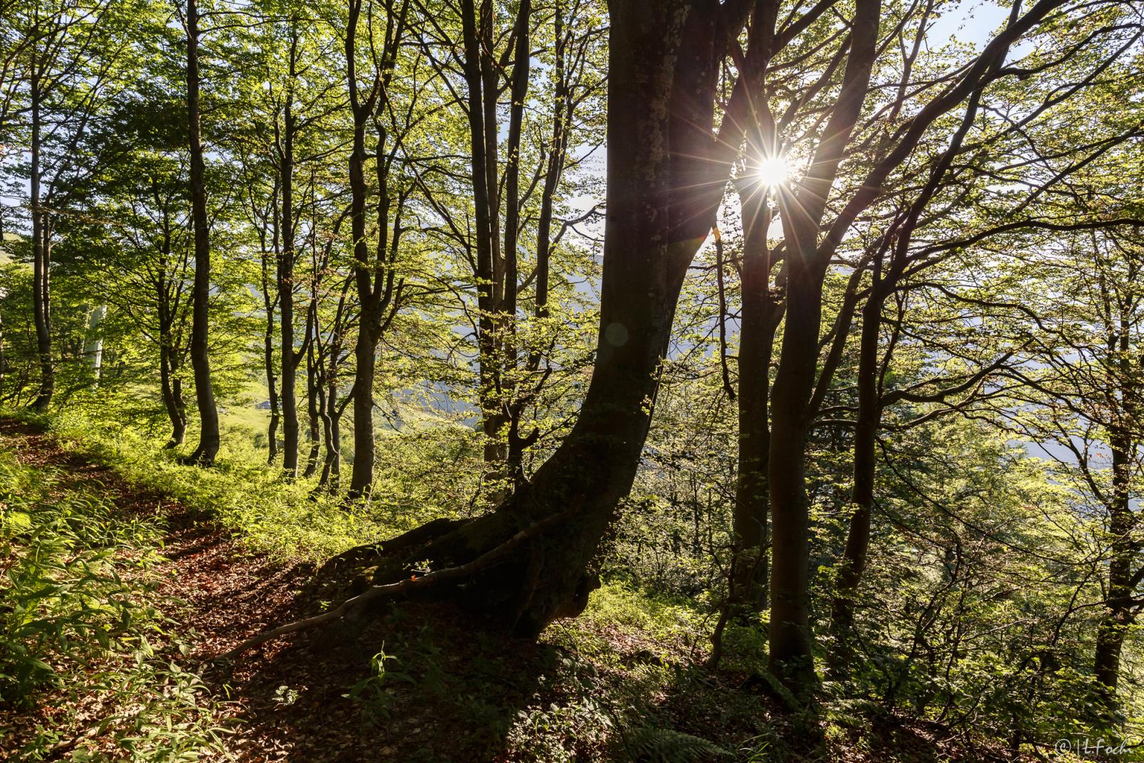
From here you recover altitude with a challenging difference in altitude through chestnut woods to go back down to the hamlet of Chioso reaching Scopello. A stretch of about 1 km. on an asphalted road it leads to the entrance to the wide path which easily reaches Piode on the orographic right side of the Sesia. From here you arrive at the Ponte di Quare after passing a larch forest. After 100 m. in the direction of Rassa, take a paved road on the right which descends to the plain and which crosses large meadows and farmsteads for almost 2 km. Once in Campertogno, leave the Sesia on the right and go up the paved road up to the pretty hamlet of Rusa. From here you return to a path through the woods that leads to Mollia and continue with a moderate slope in a border of luxuriant vegetation up to Otra Sesia.
From this point, take the generous dirt road recently built inside a spectacular and imposing larch forest. After a couple of challenging but short gradients, you reach the Isolello bridge which, with a steep and short concrete ramp, leads to the bridge that crosses the Sesia, returning to the orographic left side of the river. Continuing on a wide and easy dirt road, sometimes covered with a turf, you reach the hamlet of Balma di Riva Valdobbia and from here you continue without particular difficulties up to the small bridge that leads to the ring road.
The indication on the left of the last yellow sign allows you to reach the center of Alagna. A map, which groups routes 1, 2, and 3, is available at the Tourist Offices of Varallo, Scopello, Alagna, and also in the commercial establishments distributed along this axis marked with the yellow dot with the same symbol as the billboards. The map, which is also present on the notice boards positioned in several points along the routes, indicates access points, recharging stations for pedal-assisted bicycles, and the most challenging points to tackle.

