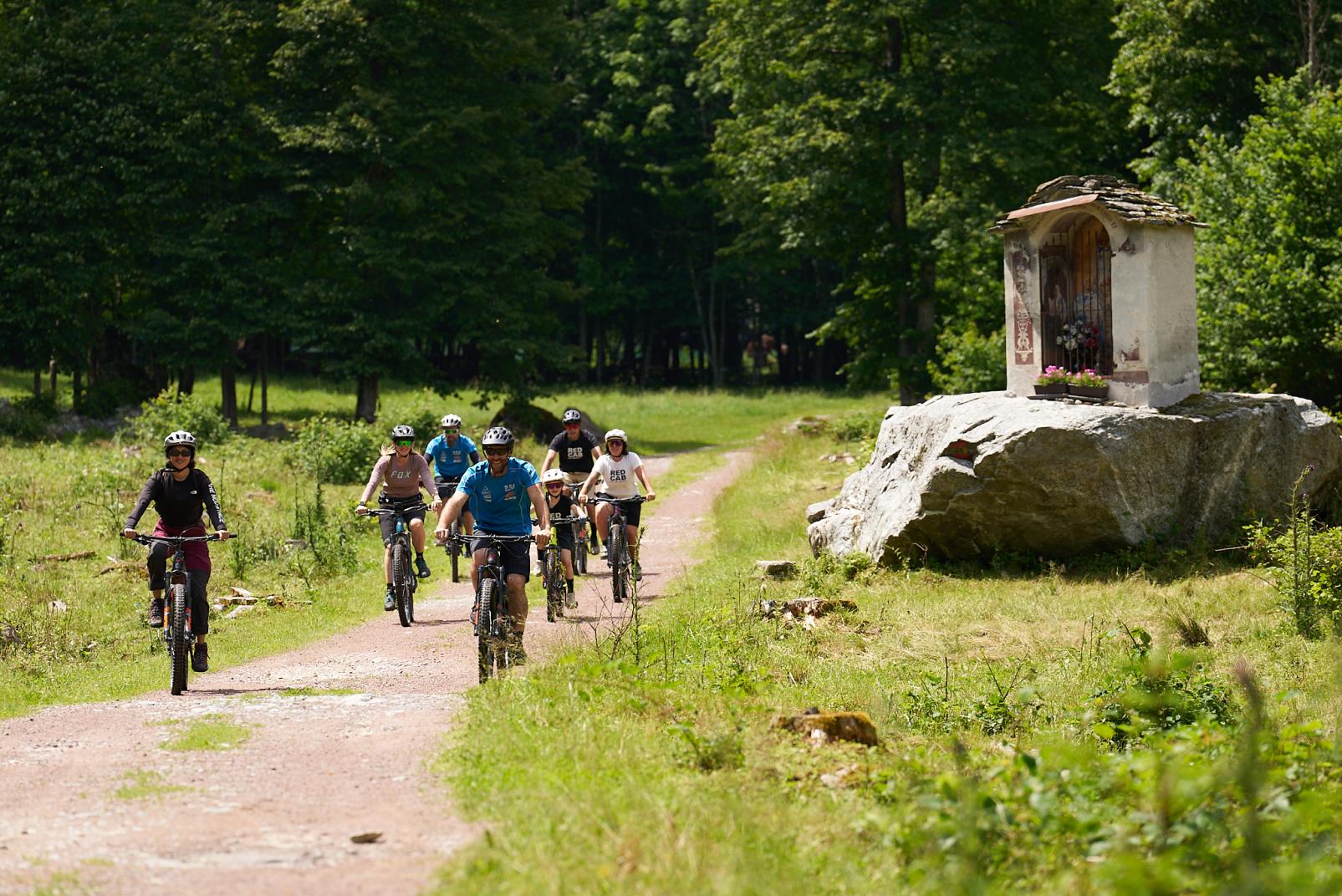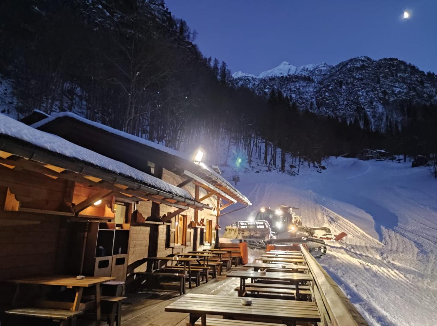
Touching the sky with a finger
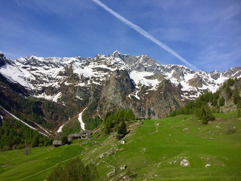
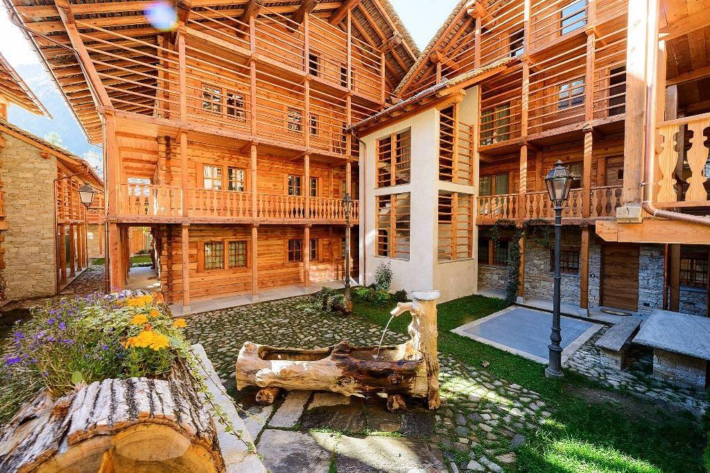
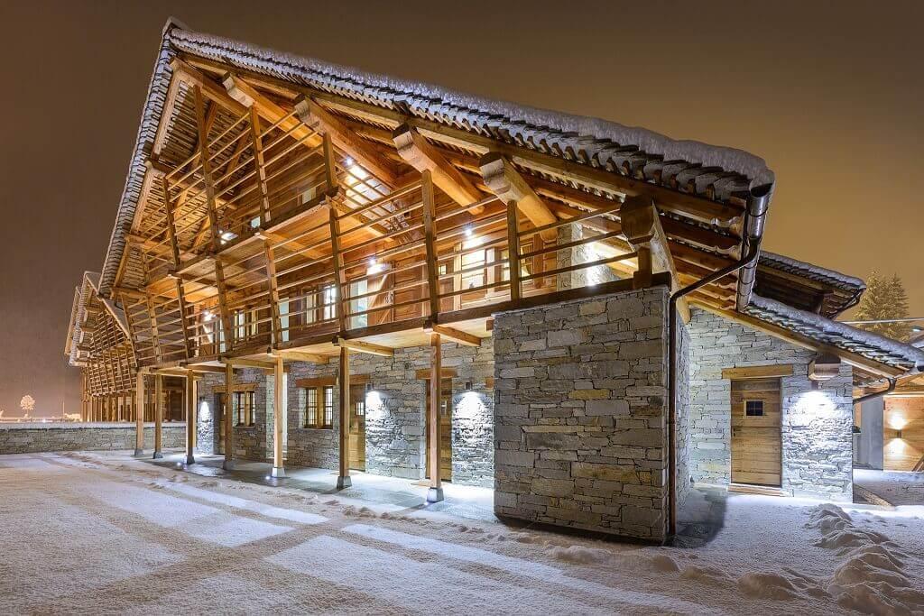
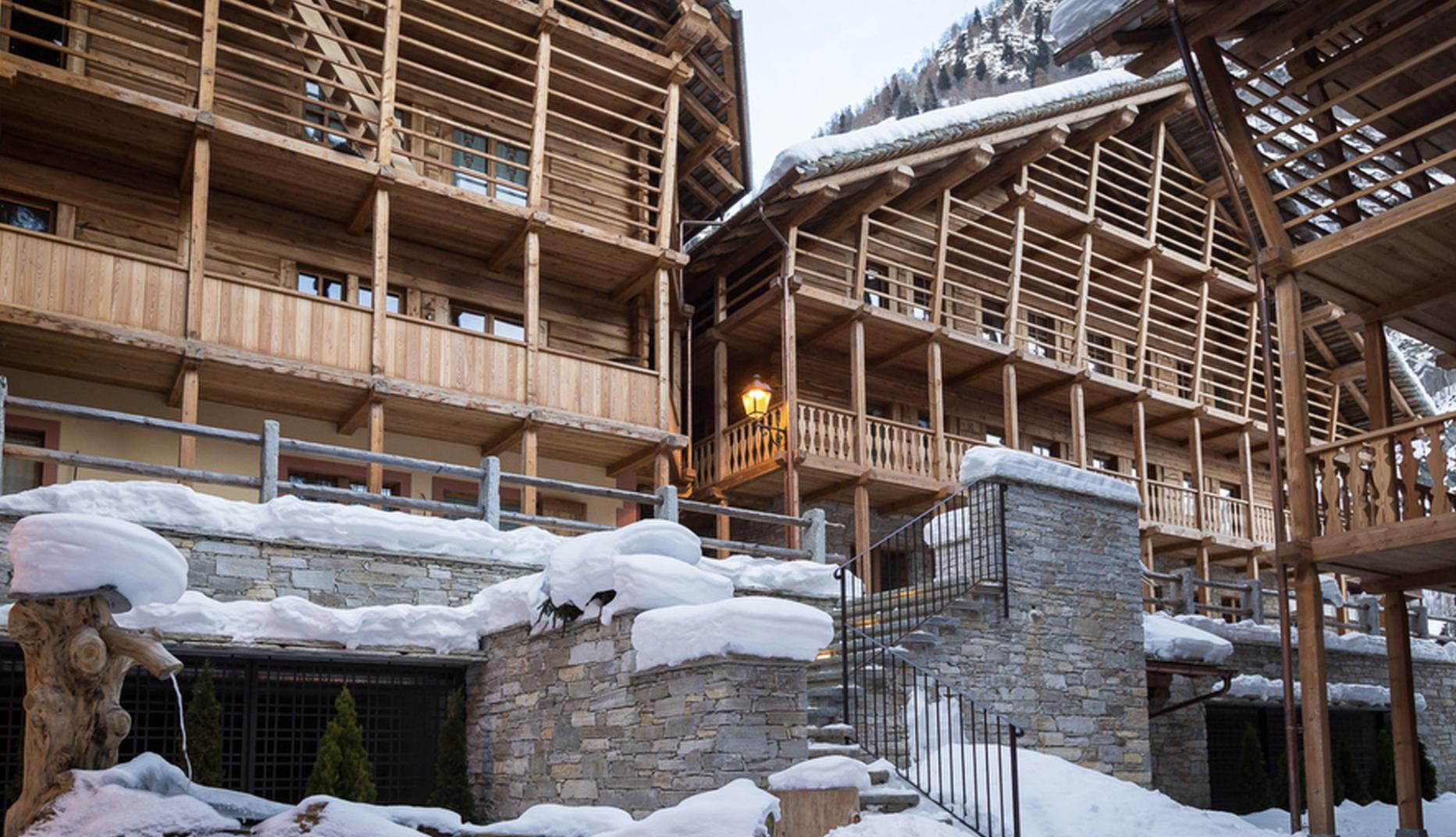
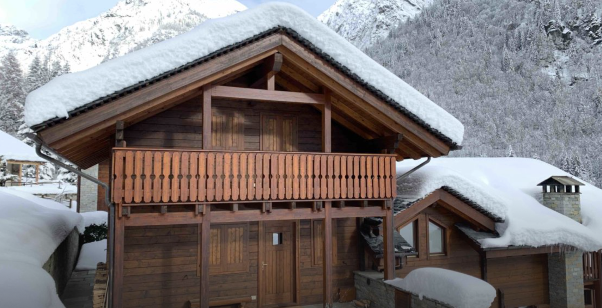
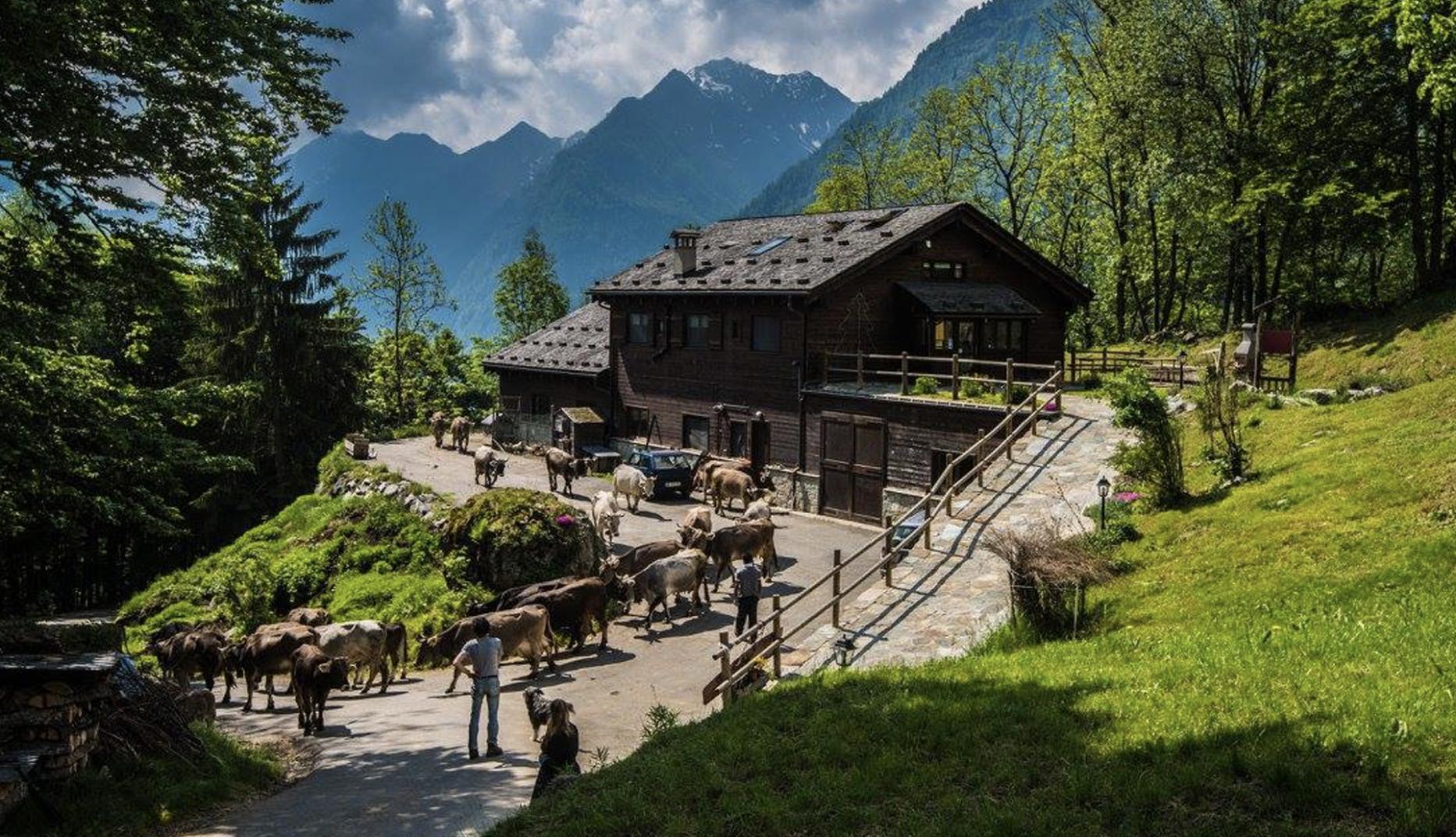
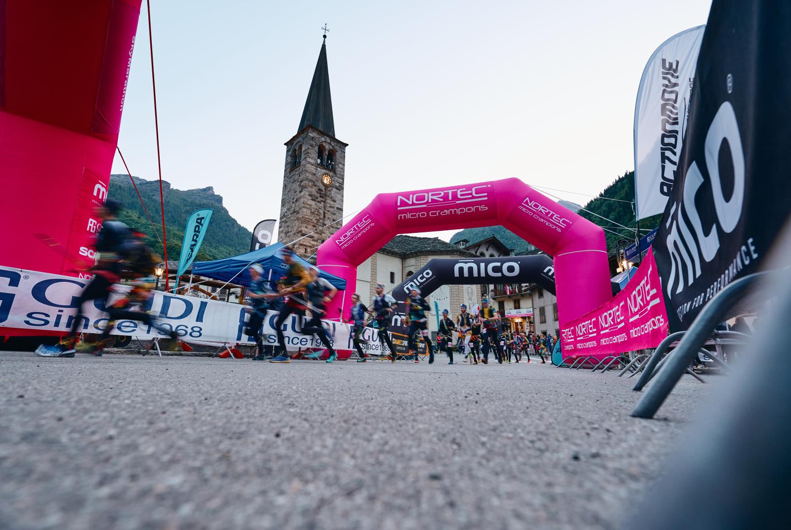
The Monte Rosa SkyMarathon is an international skyrunning event held in Alagna Valsesia, Piedmont. The 2025 edition introduces a new race, expanding the offering to four distinct competitions.
Monte Rosa SkyMarathon
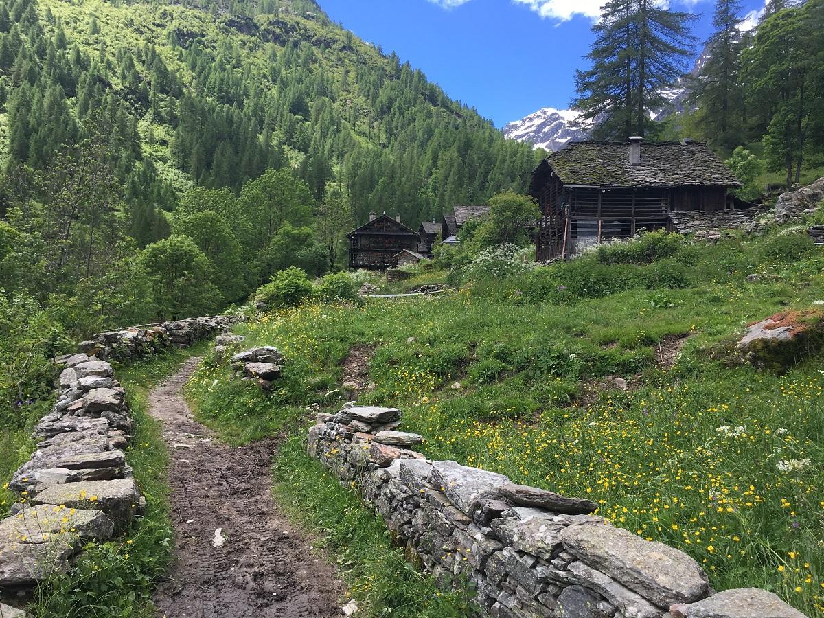
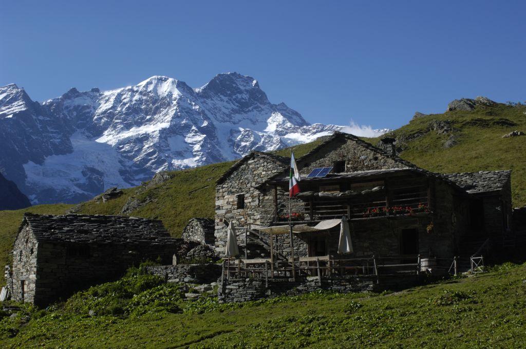
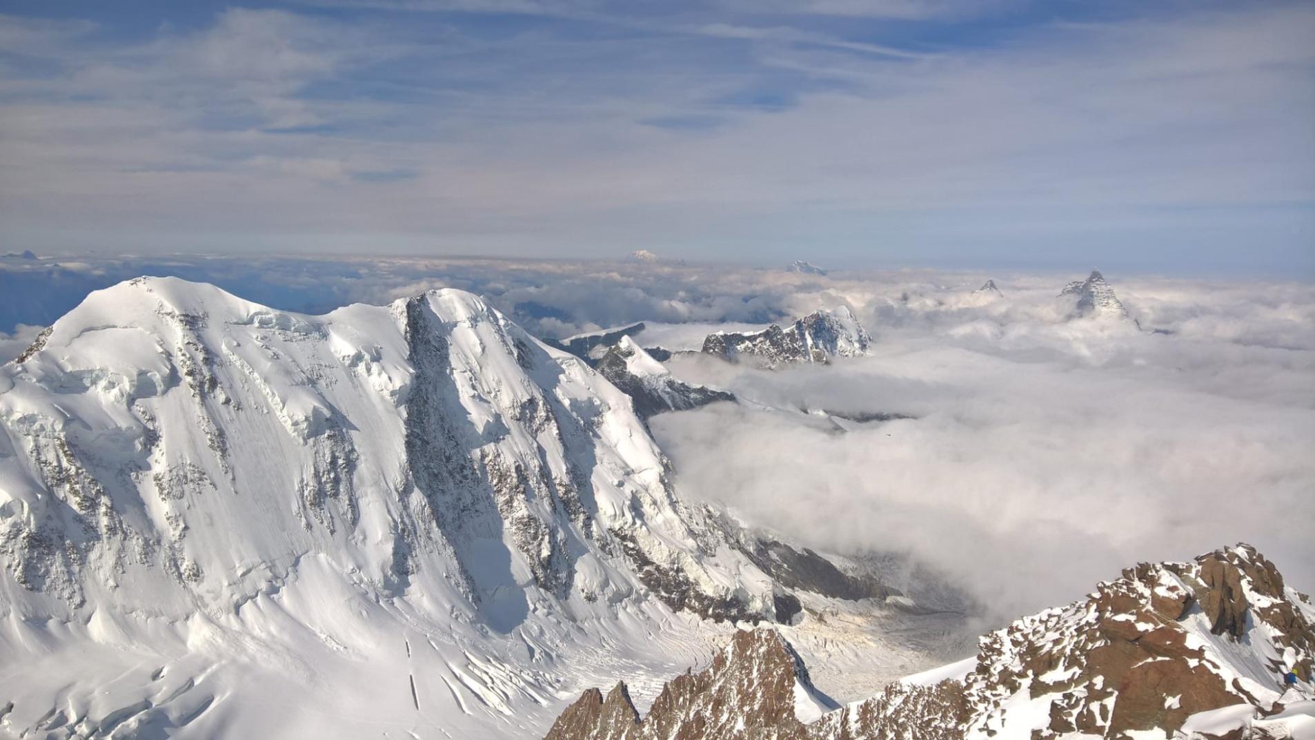
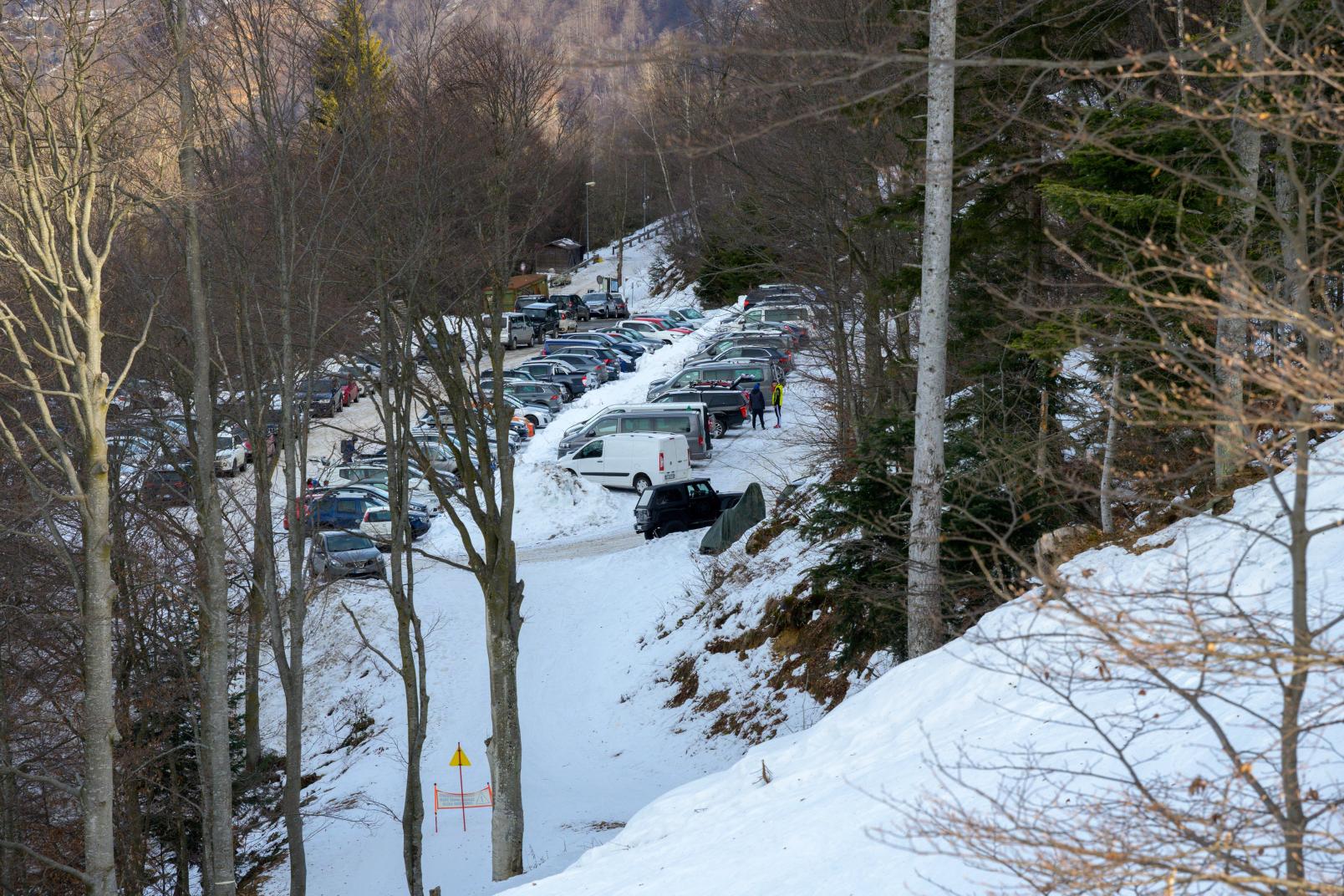
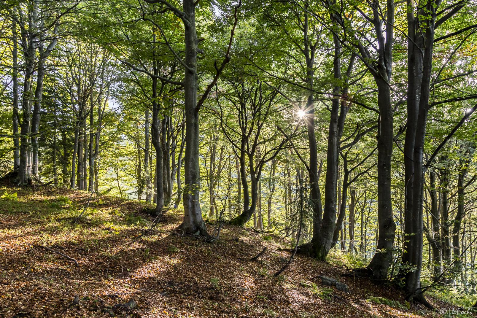
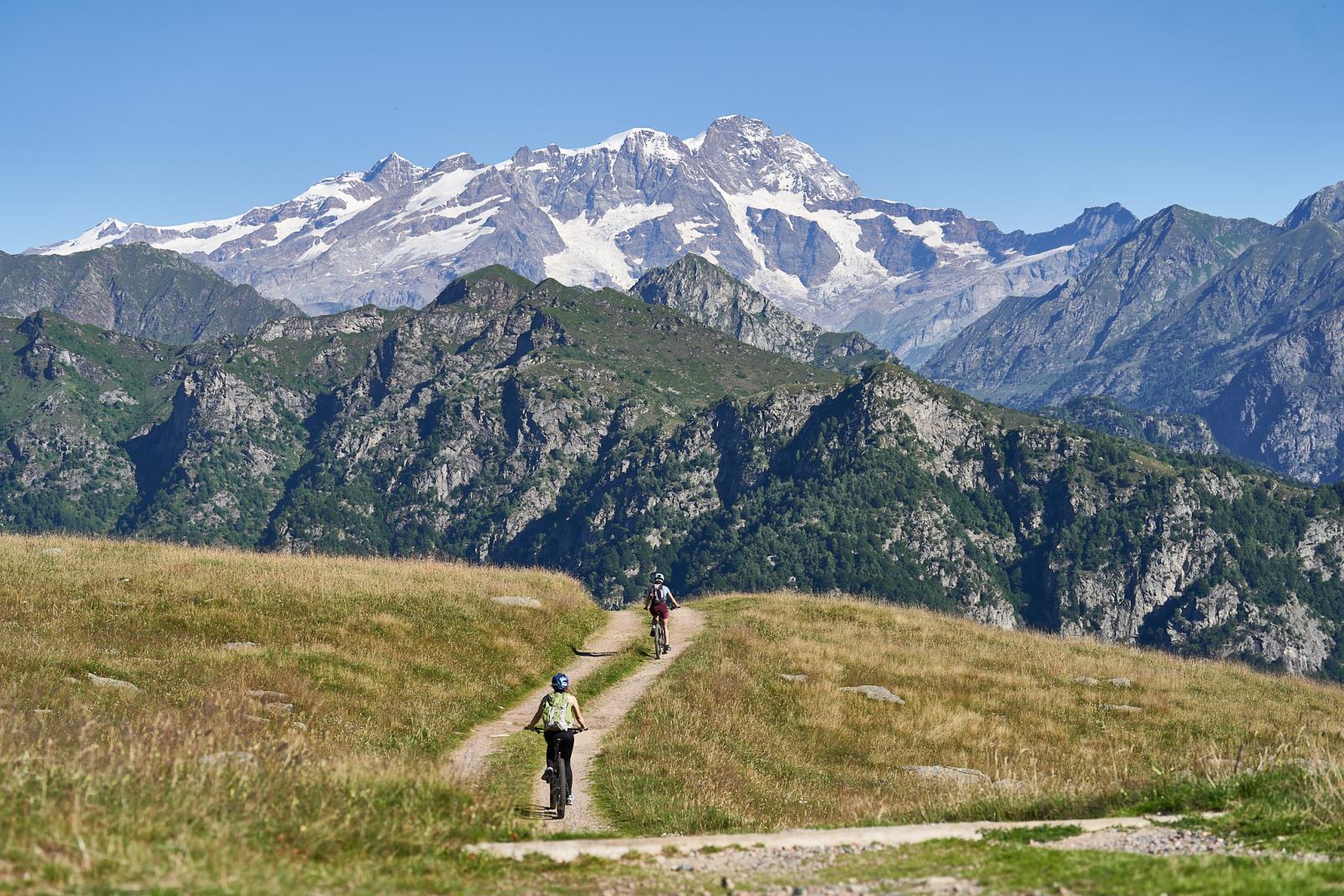
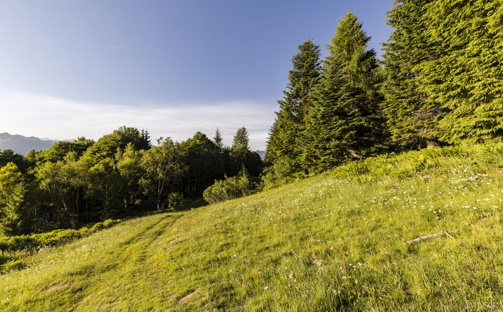
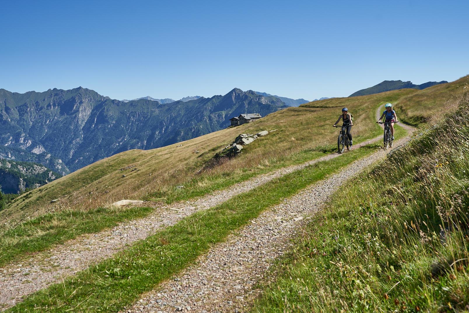
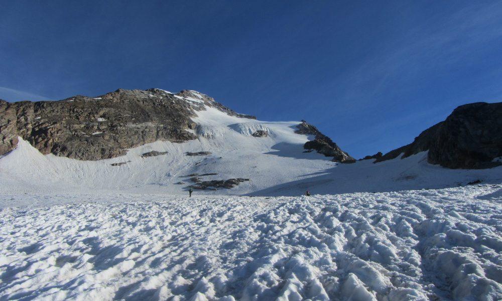
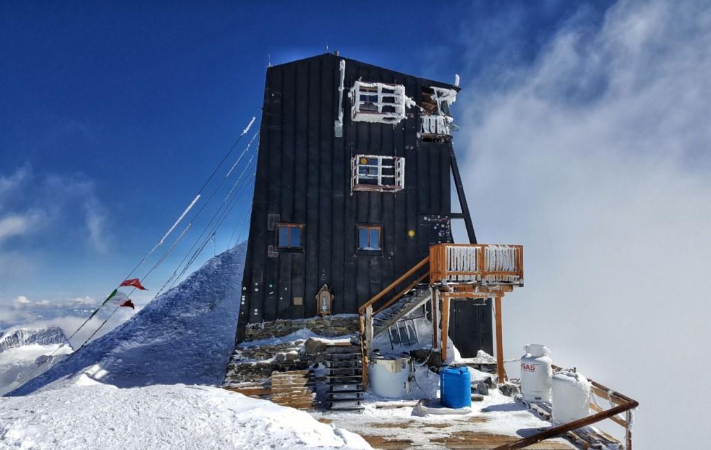
The main race, to be tackled in pairs, follows the original route from 1992. Starting in Alagna Valsesia (1,192 m), participants reach the Capanna Margherita (4,554 m), passing through the Bocchetta delle Pisse, Punta Indren station, the Gnifetti refuge, and the Colle del Lys. The course covers a total distance of 35 km with an overall elevation gain of 7,000 meters, featuring climbs, descents, trails, ski slopes, and glaciers. A maximum of 250 pairs are allowed between the Monte Rosa SkyMarathon and the new Monte Rosa SkySummit; this number may vary based on mountain conditions, at the discretion of the race management.
Monte Rosa SkySummit – NEW FOR 2025
New for 2025, this uphill-only race takes athletes from Alagna Valsesia to the Capanna Margherita, covering 17.5 km with a positive elevation gain of 3,500 meters. This competition also takes place in pairs, with a maximum of 250 teams admitted between the two main races.
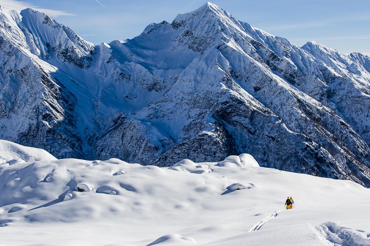
AMA VK2 – Double Vertical Kilometer
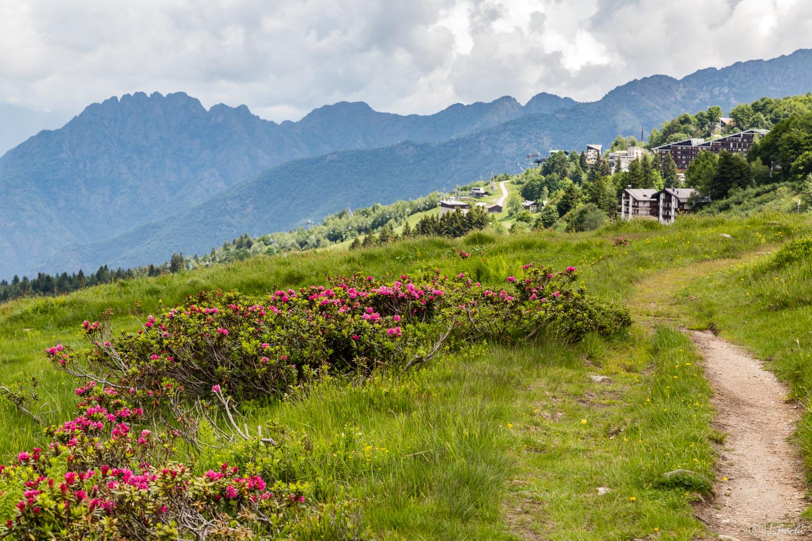
An individual race that starts from Alagna Valsesia (1,192 m) and reaches the Indren station (3,260 m), passing through the Bocchetta delle Pisse (2,396 m). The course extends over 9 km with a positive elevation gain of 2,086 meters. It is considered one of the most technical courses certified by the International Skyrunning Federation.
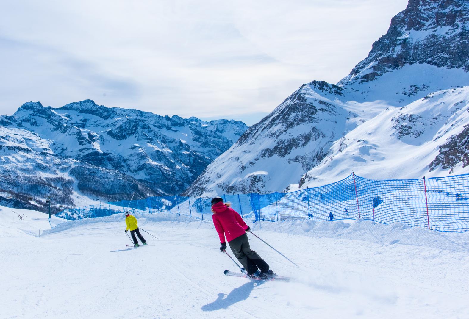
Monte Rosa Vertical
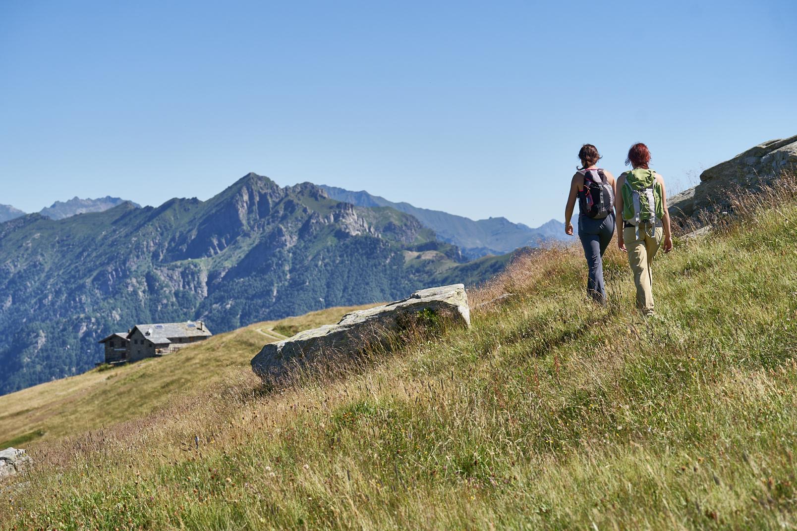
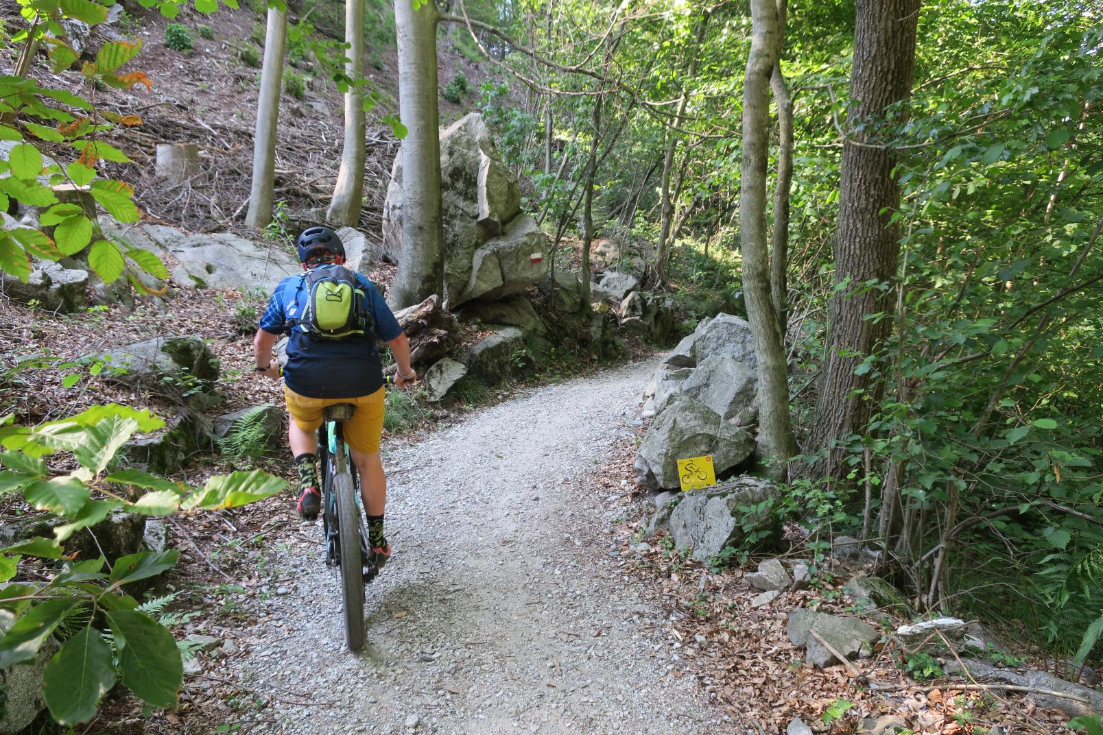
Open to both athletes and hikers, this vertical covers 5.32 km with a positive elevation gain of 1,150 meters. The course starts from Alagna Valsesia (1,192 m), passes through the Grande Halte, and climbs directly to the Bocchetta delle Pisse (2,396 m) along the ski slope. Both a competitive race and a non-competitive walk are planned for participants of all ages.
Race dates
Saturday, June 14, 2025: Monte Rosa SkyMarathon and Monte Rosa SkySummit.
Sunday, June 15, 2025: AMA VK2 and Monte Rosa Vertical.
Registrations
The available spots for the Monte Rosa SkyMarathon and the Monte Rosa SkySummit are sold out. Registrations for AMA VK2 2025 and MONTE ROSA VERTICAL 2025 are still open!
Lifts schedule and fares
Saturday, June 14, 2025 – Monte Rosa SkyMarathon and SkySummit
Opening Hours
-
Ticket offices in Alagna and Staffal open at 05:15
- Lifts in Alagna and Staffal open at 05:30
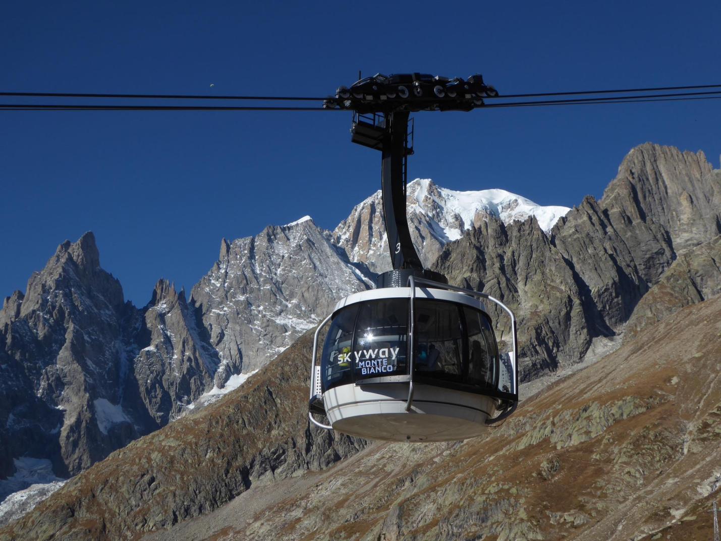
The lifts operating on the Alagna–Indren route will run continuously, while the lifts on the Staffal–Passo dei Salati route will observe the usual midday break; detailed schedules are available on this page.
Tickets
The following tickets: round trip Alagna–Indren (valid for the day), round trip Staffal–Indren (valid for the day), round trip Alagna–Pianalunga, and round trip Alagna–Passo dei Salati, round trip Staffal-Gabiet e round trip Staffal-Salati will be discounted by 30% from the opening of the ticket offices (05:15) until 09:00.
Sunday, June 15 – AMA VK2 and Monte Rosa Vertical
Opening Hours
- Ticket offices in Alagna and Staffal open at 07:30
- Lifts in Alagna and Staffal open at 07:30
The lifts operating on the Alagna–Indren route will run continuously, while the lifts on the Staffal–Passo dei Salati route will observe the usual midday break; detailed schedules are available on this page.
Tickets
The following tickets: round trip Alagna–Indren (valid for the day), round trip Staffal–Indren (valid for the day), round trip Alagna–Pianalunga, and round trip Alagna–Passo dei Salati, round trip Staffal-Gabiet e round trip Staffal-Salati will be discounted by 30% from the opening of the ticket offices (07:30) until 09:00.
For further details and updates, visit the Official Monte Rosa SkyMarathon Website